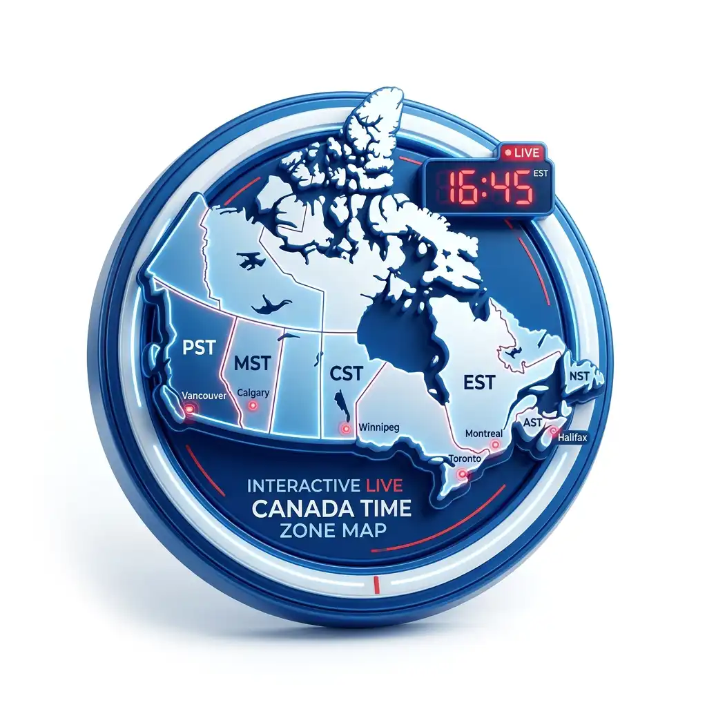
Interactive live-rule map
Live mode colours the clock users actually observe now. Province outlines and dashed exception borders stay visible for context.
Loading detailed Canadian boundaries…
Boundary note: Province outlines are administrative context. IANA/OpenStreetMap time-region geometry is practical, approximate clock-rule coverage—not a legal or survey-grade border. Local law controls.